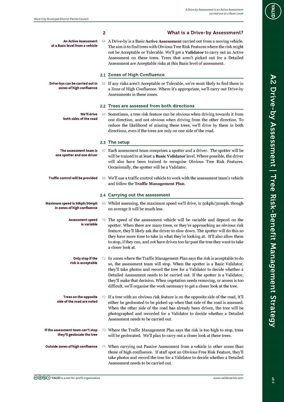
Here’s our Drive-by Assessment specification that we've been working on the Tasmanian Government's Department (DSG) of State Growth. This is now embedded into the Government Agency Tree Risk-Benefit Management Strategy template at Appendix A2.

DSG are working on their Traffic Management Plan and I'll encourage them to share that as well. This is really important because the risk of assessing trees on a high-use road is much higher than the risk of branches or trees falling on a high-use road.
It can be adapted to meet your needs. By way of explanation for how this is set up. It’s part of the Government Tree Risk-Benefit Management Strategy. So, you’ll need to be familiar with that to understand the difference between Passive Assessment & Active Assessment. And the three levels of Active Assessment – Basic, Detailed, and Advanced.
Zones of high confluence = High use + large trees
In VALID that’s 1400 or more vehicles a day. The speed limit doesn’t matter. For people, we’re looking at around 1200 per day. This translates to someone passing every minute or so between 7am – 7pm, Mon – Fri. Large trees, for purposes of zoning rather than assessment are trees with a DBH of about 50cm/20in or more.
Drive-bys can be carried out by a Basic Validator or a Validator. This is released under a creative commons licence, and you're welcome to replace these trained assessor titles with whoever would be carrying out a Drive-by Assessment and what their credentials are.

.png)